Trek

Fairy Meadows & Nanga Parbat Base Camp: Chai at the Foot of the Naked Mountain

· 3 min read

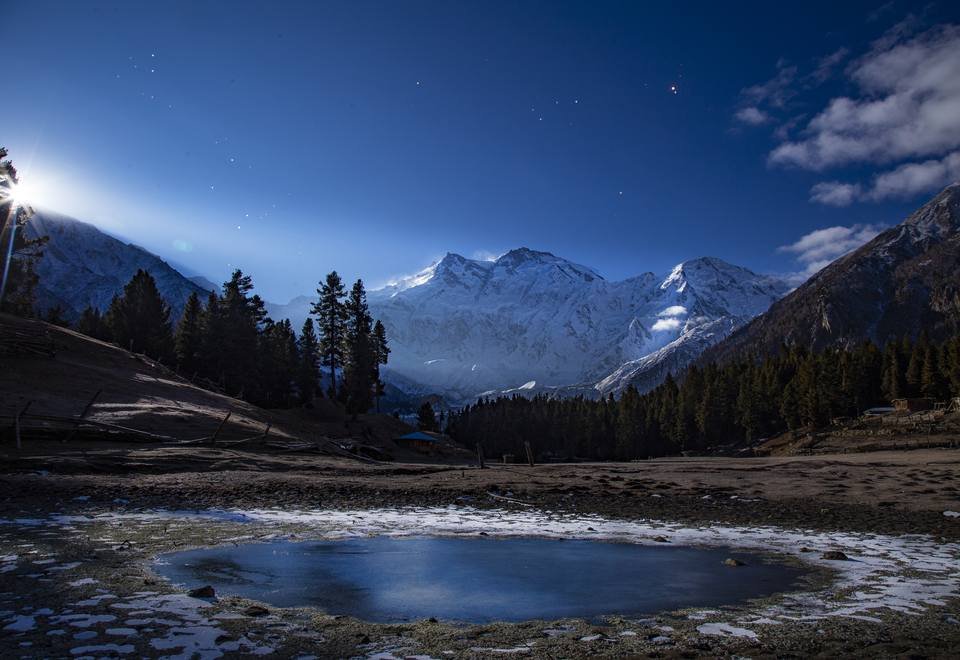
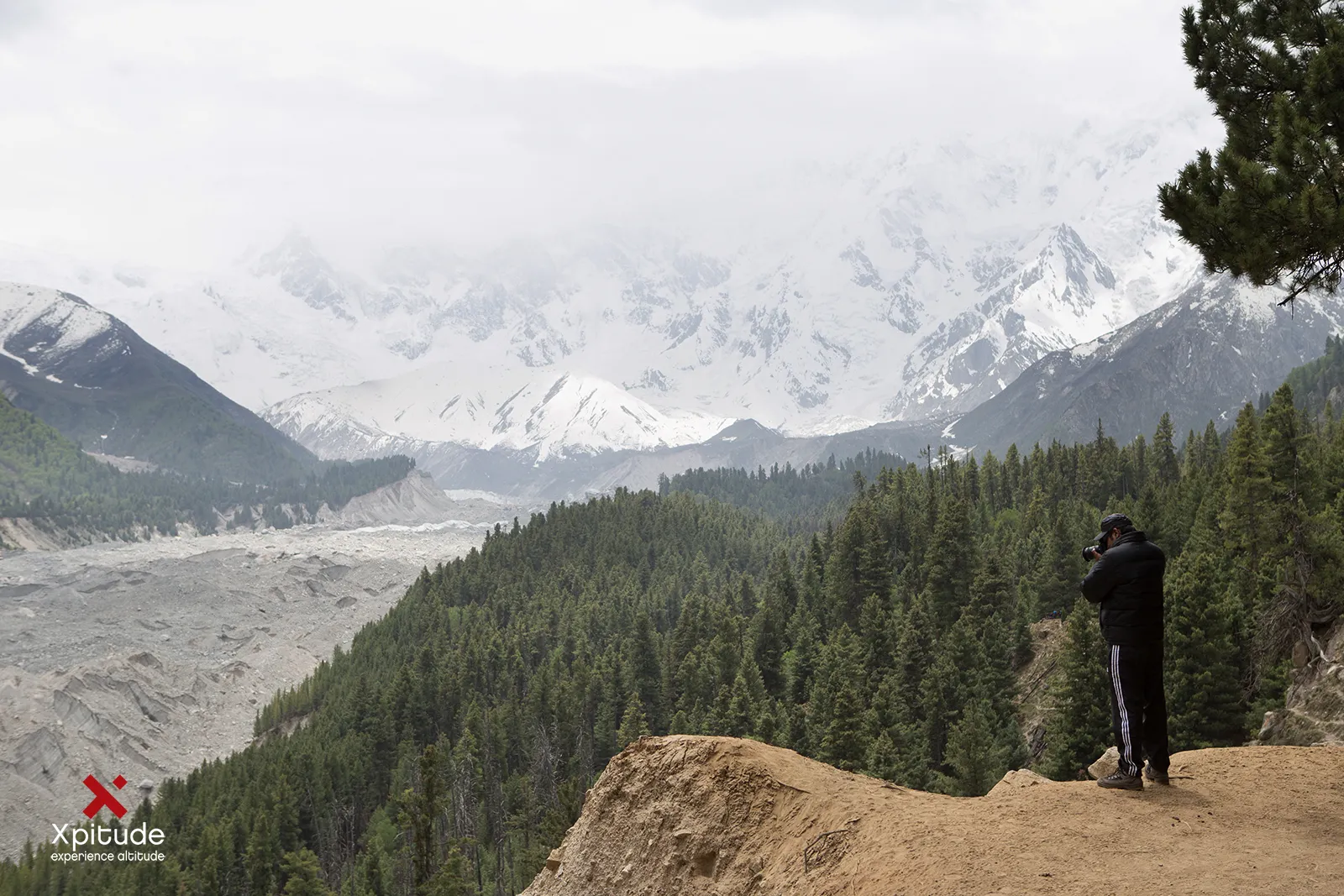
Fairy Meadows and Nanga Parbat: looking up the valley toward Nanga Parbat
In this story
  1. The Jeep Ride Everyone Talks About
  2. The Naked Mountain
  3. Life in the Meadow
  4. Onward to Base Camp
  5. Plan Your Trip
  6. Good to Know
  7. Frequently Asked Questions

Let us manage expectations. Nobody at Fairy Meadows hands you a welcome drink with a wand. Getting here involves one of the most famous jeep tracks in Pakistan and a hike that will politely remind you about your fitness.

And then the pine trees part, and the ninth highest mountain on Earth fills the sky. Suddenly the name makes complete sense.
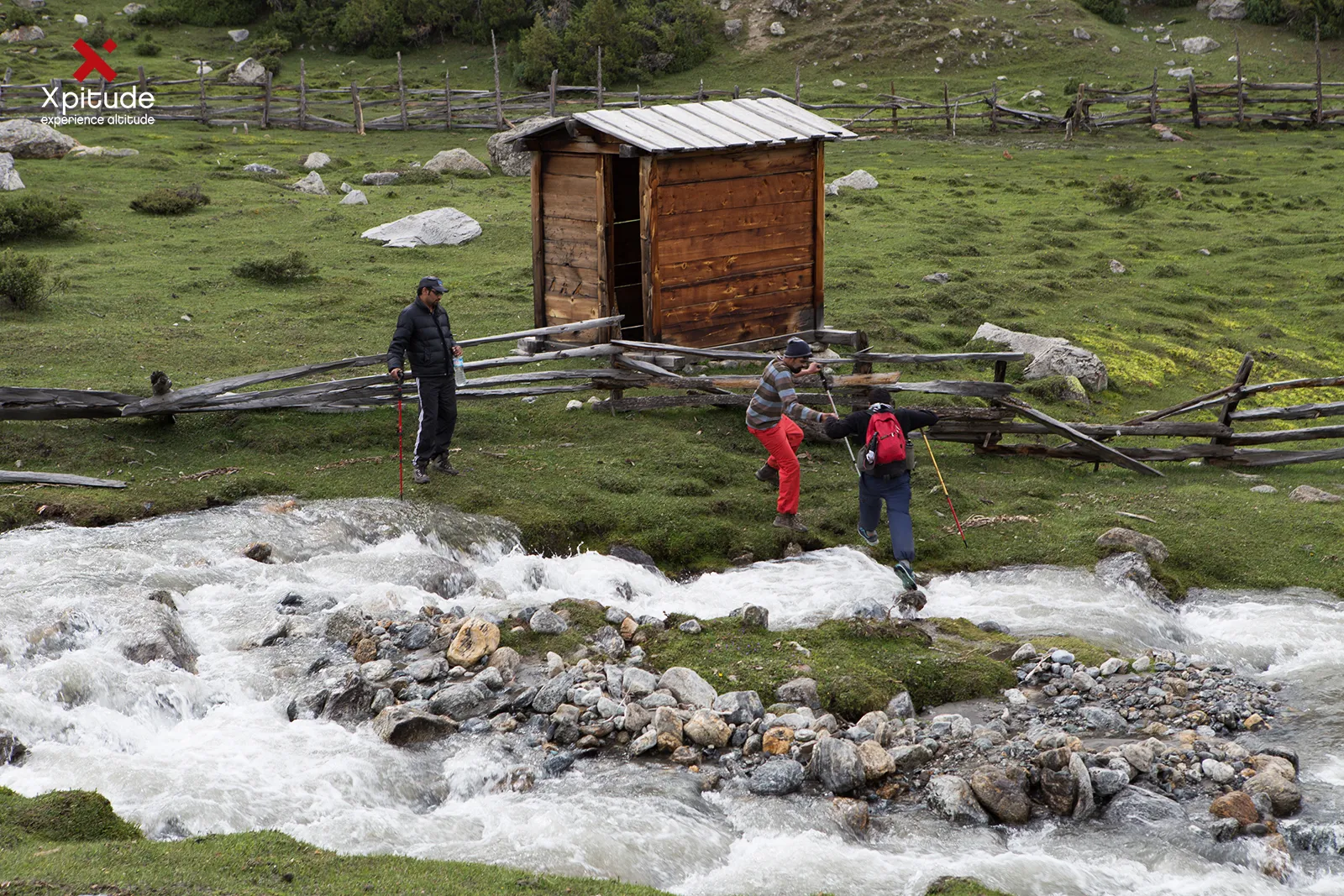
Fairy Meadows and Nanga Parbat: a wooden hut beside a stream in the meadows
A wooden hut beside a stream in the meadows.

The Jeep Ride Everyone Talks About

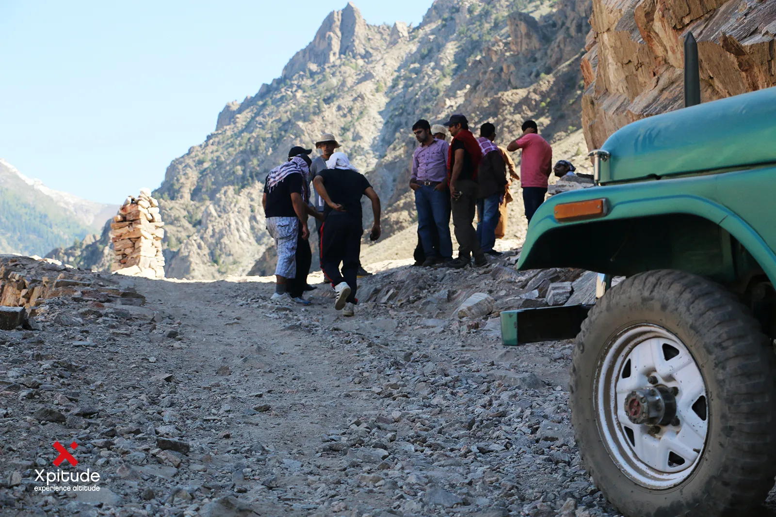
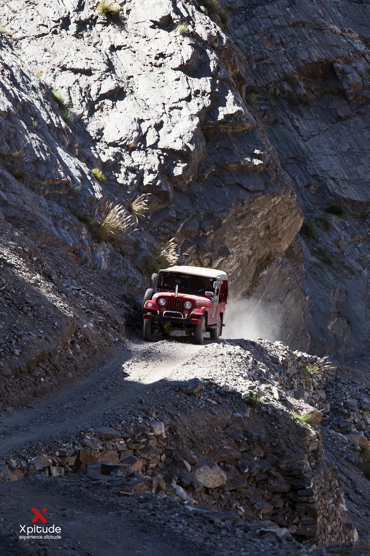
From Raikot Bridge on the Karakoram Highway, a narrow gravel road clings to the cliffs for about 15 km up to Tattu village. Only local drivers are allowed on it, which you will be very grateful for about five minutes in.

Your driver will chat, wave at friends and possibly check his phone while you study the drop to the river. From Tattu, a 3 to 4 hour hike through pine forest brings you to the meadow at about 3,300 m.

The Naked Mountain

Nanga Parbat means 'naked mountain', a name thought to come from its sheer rock faces that are often too steep to hold snow. At 8,126 m it is the western anchor of the Himalaya, and its Raikot Face towers above Fairy Meadows with a vertical relief that is among the greatest in the world.

It also carries a heavy history. Several early German expeditions lost climbers here, earning it the grim nickname Killer Mountain. In 1953 the Austrian Hermann Buhl finally reached the summit, completing the last stretch alone. Climbers attempting the Raikot route still start from these meadows.
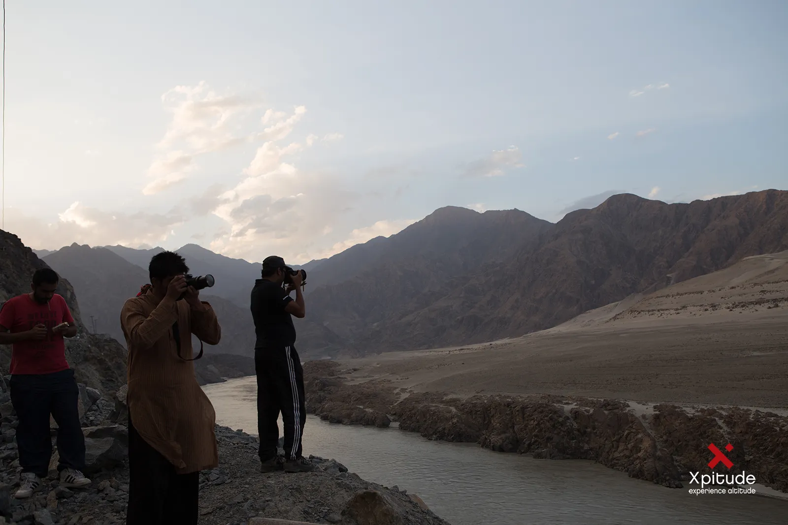
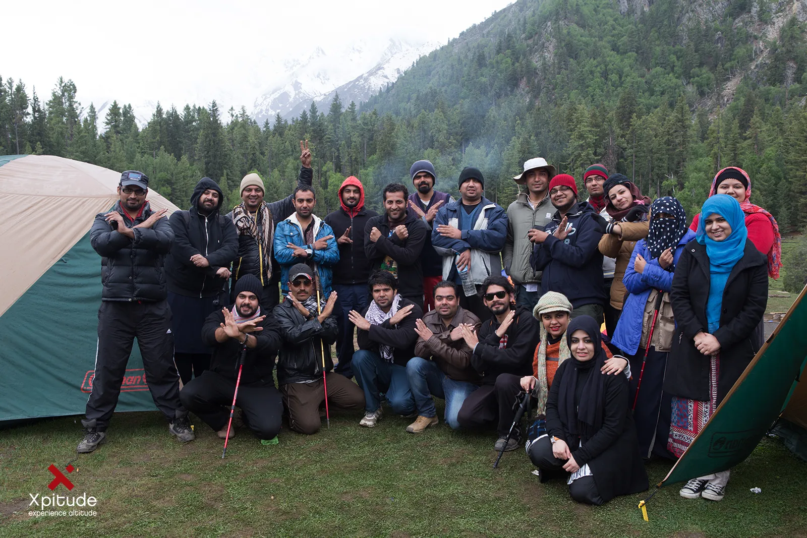
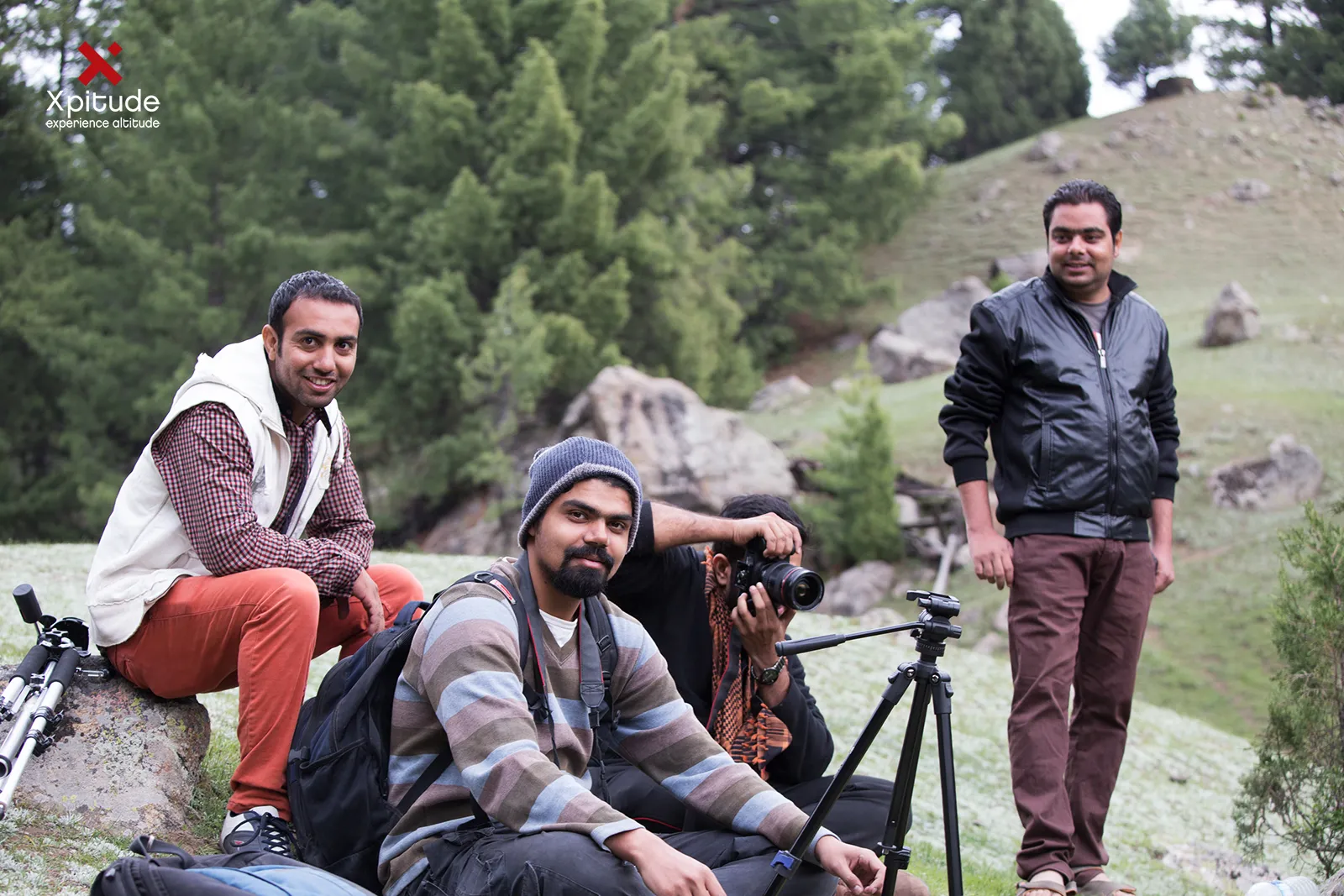
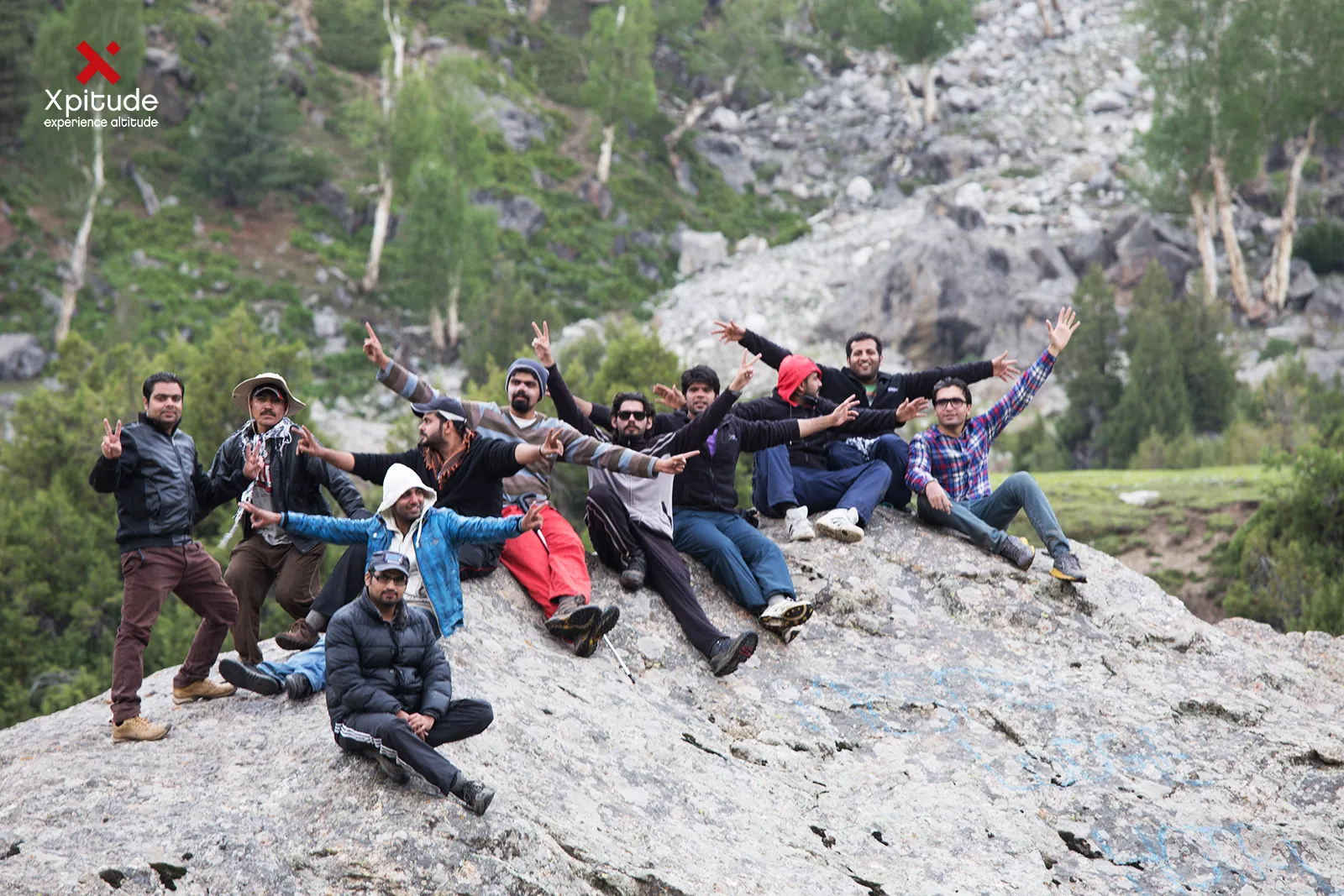
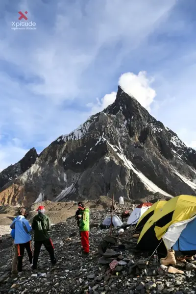
Fairy Meadows and Nanga Parbat: photographers by the river at duskFairy Meadows and Nanga Parbat: the group in front of the tentsFairy Meadows and Nanga Parbat: a tray of steaming cups of tea
Photographers by the river at dusk. · The group in front of the tents. · A tray of steaming cups of tea.

Life in the Meadow

Locals call this place Joot. It became a national park in 1995, and families from Tattu run the wooden huts and camping sites that welcome visitors today. The community also chose to stop cutting timber here to protect the forest, which tells you something about how much the place means to them.

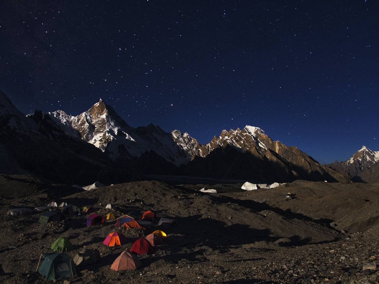
Mornings start with chai and sunlight crawling down the Raikot Face. Evenings end with stars so sharp they look fake. Somewhere between the two, a lot of visitors find themselves sitting quietly for longer than they planned. That stillness is part of what you came for, even if you did not know it.

Onward to Base Camp

If your legs agree, a full day hike leads through Beyal Camp to the Nanga Parbat Base Camp area, roughly 3,900 to 4,000 m, with the Raikot Glacier grinding below you. It is long and rocky but not technical.

If your legs disagree, find a chair facing the mountain and order another chai. That is also a perfectly respectable plan.
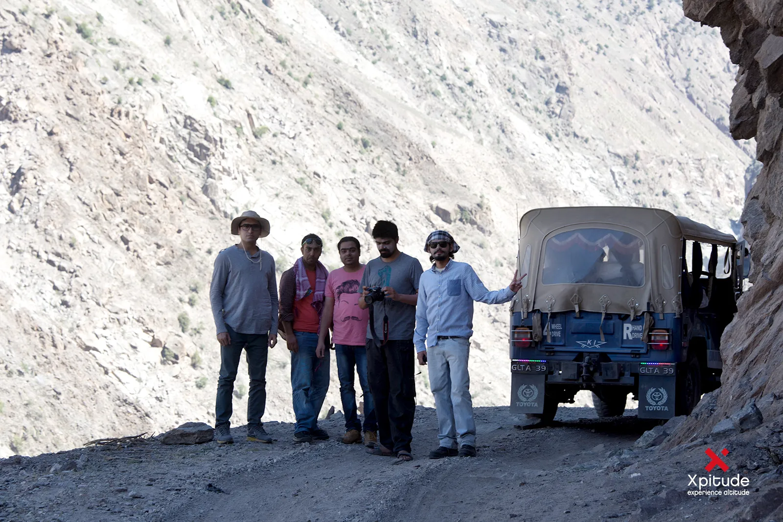
Fairy Meadows and Nanga Parbat: the group beside a jeep on the cliff road
The group beside a jeep on the cliff road.

Plan Your Trip

  • How to get there: Drive Islamabad to Raikot Bridge via Naran and Babusar Top in summer, or the Karakoram Highway. Local jeep to Tattu, then hike
  • Duration: 5 to 7 days from Islamabad
  • Best season: Mid June to September
  • Difficulty: Moderate. Base camp hike is long and strenuous
  • Altitude: Fairy Meadows about 3,300 m. Base camp area about 3,900 to 4,000 m
  • Stay: Wooden huts and camping

Good to Know

  • Pack warm layers. Nights are cold even in July.
  • Mobile coverage is weak to non existent. Tell family before you go.
  • The Babusar route usually opens in June. Outside the season, travel time increases via Besham.
  • Carry cash. There are no ATMs above the highway.

Frequently Asked Questions

How do you get to Fairy Meadows?

Take a local jeep from Raikot Bridge on the Karakoram Highway to Tattu village, then hike about 3 to 4 hours to the meadows.

How high is Fairy Meadows?

About 3,300 m above sea level, with Nanga Parbat (8,126 m) rising directly above it.

Is the Fairy Meadows jeep road dangerous?

It is narrow and exposed, which is why only experienced local drivers operate it. Travel only with authorized local jeeps.

Your phone wallpaper is about to become embarrassingly outdated.

The XPITUDE Verdict

Explore the XPITUDE Fairy Meadows & Nanga Parbat Base Camp trip

From the trail

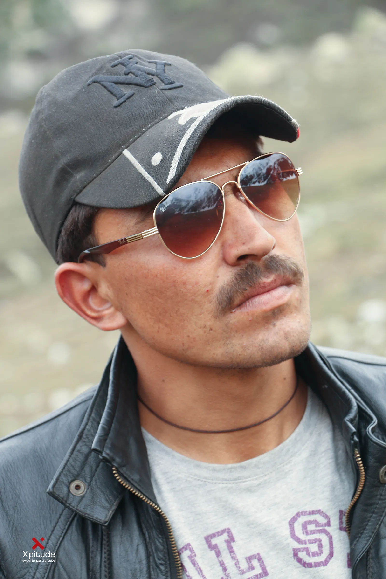
Fairy Meadows and Nanga Parbat: a jeep on the narrow cliffside track Fairy Meadows and Nanga Parbat: a photographer with a camera and tripod in the meadow Fairy Meadows and Nanga Parbat: the group beside a jeep on the mountain road Fairy Meadows and Nanga Parbat: the group posing on rocks below the forest Fairy Meadows and Nanga Parbat: a guide in a cap and sunglasses Fairy Meadows and Nanga Parbat: a small group posing on the hillside

Tell us the month. We'll tell you what's possible.

Back to the journal